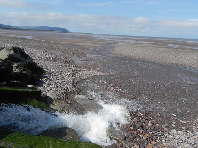
Pill River rises on Monkslade Common at an elevation of 279 metres and flows in a generally north easterly direction to flow through Rodhuish, and Whitley Brake to reach Bilbrook. It flows through Bilbrook Ford before turning north to reach Black Monkey Bridge. It flows beneath the West Somerset Railway to reach Binham Farm. Continuing in a northerly direction it flows through Home Farm before flowing beneath Pill Bridge to reach the sea at Blue Anchor. From the Source on the Monkslade Common the rivers length is approximately 7.5 kilometres.
Source: Elevation 278.8 m or 914.6 feet – Location :51.14188,-3.43255

Video Gallery
Image Gallery Location Map Structures

