The ordnance survey map suggests that the river has it’s origins in the Treborough headwaters which rise on the northern slopes of the Brendon Hills at an approximate elevation of 386 metres ( 1267 feet ) and after falling 120 metres ( 390 feet ) in the first 600 metres of its journey the headwaters join at Tarr Water Cottages to flow south to Lower Court Farm before turning west to flow to Pooltown. At Pooltown the river is joined by waters that rise on Kennisham Hill which flow north through Colyhill Wood to Upper Pool Cottages, here waters that rise on Langham Hill that flow north through Chargot Woods join. The combined waters flow east past Chargot House before joining the the river at the Pooltown bridge.

From Pooltown the river flows in a northerly direction to Kingsbridge where again it is joined by further waters which originate on Lype Hill. The Lype Hill headwaters flow in a northerly direction through Lype Brake to reach Old Stowey where they turn to the east to flow to the south of churchtown and Luxborough before joining the river upstream of Kingsbridge Bridge.
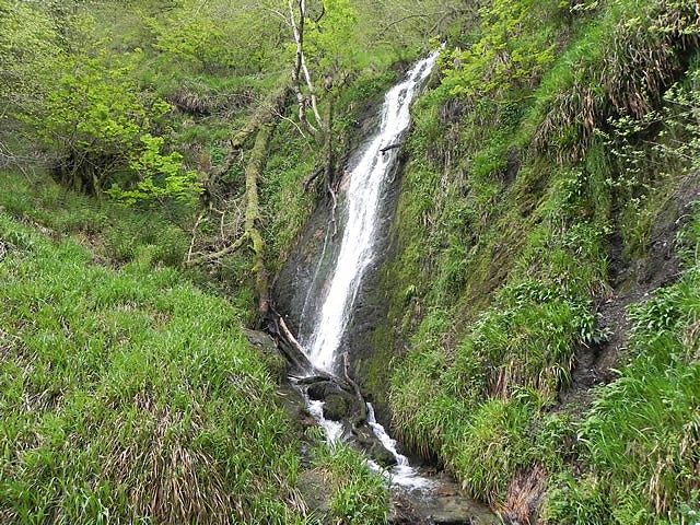
From Kingsbridge the river flows in a generally easterly direction to flow through Druid’s Combe, past Langridge Mills to Roadwater. At Roadwater the Traphole Stream joins the flow. These are substantial waters that rise in the hills above Comberow. One such headwater rises close to The Winding House at the top of the Incline of the West Somerset Mineral Railway. The headwaters above Comberow create spectacular waterfalls. From Comberow the the waters flow in a northerly direction to flow past Pitt Mill before joining the main river in Roadwater.
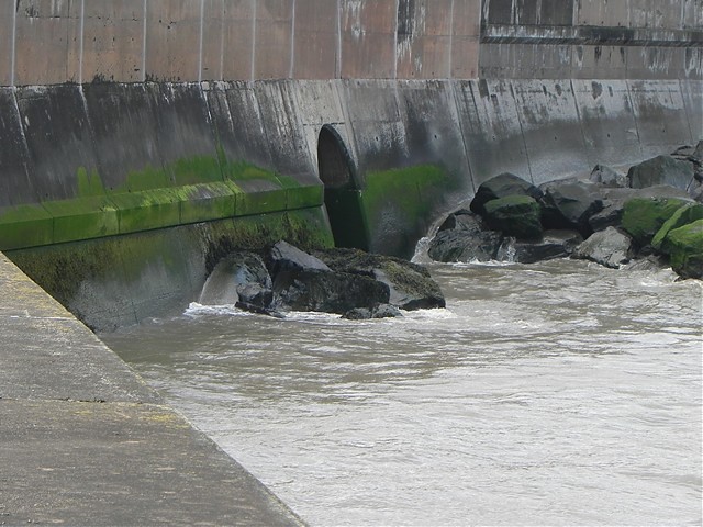
At Roadwater the river, now complete, flows in a generally northerly direction through Lower Roadwater and Hungerford. From Hungerford the river flows past Cleeve Abbey and then passing through Washford it flows on to reach the sea at Watchet. The approximate length of the river from source to mouth is 10.50 miles.
Source: Elevation 386.2 m or 1267.0 feet – Location :51.10861,-3.43394

Video Gallery


