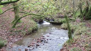
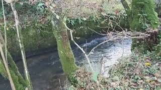
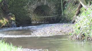
The River Brockey rises on Hawtree Moors near Oldways End before flowing through Coronation Plantation to reach Venn Farm where it flows beneath the disused Devon and Somerset Railway track. It continues on to reach Beer Lane Ford and then through Poole Bottom to reach Harrifords Bridge where it takes a more easterly direction. After flowing through Cale Wood it reaches Nightcott Bridge and then flows past Butterwell Copse and Quick Moor to Nutsford Bridge. It continues through Beer Wood and flows beneath Combe Bridge to reach the outskirts of Brushford where it flows beneath Church Bridge.It then again flows beneath the Devon and Somerset Railway to reach Bowdens and then Kents Hill Pond. After flowing beneath Brocks Bridge it skirts Hele Manor and turns south to reach its confluence with the River Exe a short distance downstream from Exebridge. The rivers length from source to the Exe confluence is approximately 5.8 miles with an elevation fall of close to 120 metres.
The River Brockey lies on the very edge of the Exmoor National Park and whilst strictly not within the bounds of the Exmoor National Park I have included this within the Exmoor Waters listing.
Source: Elevation 233.9 m or 767.3 feet – Location :51.01236,-3.60885

Video Gallery