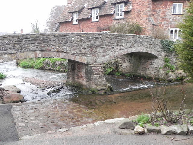
The river has a complicated system of headwaters that join to form the main river. The head streams that rise to the west of Wootton Courtenay flow in a northerly direction and are joined by head streams that rise near Tivington. These head streams turn to the west where they are joined by head streams that rise in the hills above Huntscott and then later, at Blackford, by head streams that rise above Luccombe Mill. The combined waters then flow in a north westerly direction through Stratford Wood where head streams that rise on Luccombe Hill join. The river now in its full flow continues in a north westerly direction to flow through the Holnicote Estate, Piles Mill, Brandish Street, Allerford and Lynch Bridge before joining Horner Water at Bossington and flows into Porlock Bay near Hurlestone point on the Bristol Channel.

From the headwaters near Wootton Courtenay to its confluence with Horner Water the river travels a distance of approximately 4.5 miles with a fall in elevation of close to 110 metres.
Source: Elevation 134.8 m or 442.3 feet – Location :51.18843,-3.52676
Image Gallery Location Map Structures