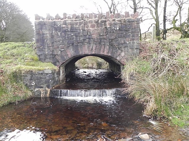
Chetsford Water rises close to Alderman\’s Barrow at an approximately elevation of 430 metres above sea level. It flows past Hurdle Down in a south easterly direction for approximately 1 kilometre to reach Chetsford Bridge which lies on the moorland road between Porlock Hill and Exford. It then flows in a north easterly direction to join with Embercombe Water to create Nutscale Water. The total distance from source to the confluence with Embercombe Water is approximately 2 kilometres and its waters reach the sea after flowing through Nutscale and Horner Water after a journey of approximately 15 kilometres
Source: 434.8 m or 1426.4 feet – Location :51.16980,-3.66236

Video Gallery
