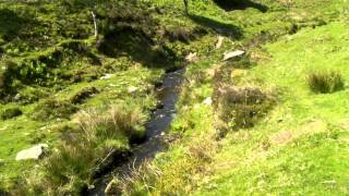
The river’s source is on the Chains just north of Pinkery Pond at an elevation of approximately 1500 feet. It flows in a northerly direction through Ruckham Combe to the confluence with Warcombe Water just south of South Furzehill. Warnicombe Water rises on Benjami. The river continues its northerly flow through North Furzehill and onto South Sparhanger and the ford at Radsbury Lane. It flows on through Radsbury Copse and Stock Wood to Barbrook. At Barbrook it is joined by it’s main tributary, Barbrook, which rises to the west of the the West Lyn River’s source, close to Woodbarrow Hangings.

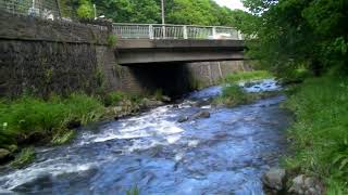
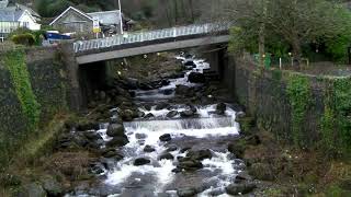
Flowing beneath Barbrook Bridge the river flows through Road Wood and Kibsworthy Wood to Lynbridge where it flows beneath Lyn Bridge. Flowing on through Glen Lyn Gorge it reaches it’s confluence with the East Lyn River in Lynmouth. From source to the confluence with the the East Lyn River the river travels approximately 4.8 miles with a full in elevation of close to 450 metres.
Source: Elevation 457.0 m or 1499.3 feet – Location :51.16889,-3.82533
Video Gallery