The source of the River Haddeo is a spring close to Yellands (Latitude: 51.0736 / 51°4’24″N Longitude: -3.4302 / 3°25’48″W.)’ From its source the river flows through Cuckold’s Combe, past Moorhouse Moor to reach Bridge End and then after a journey of 3.75 kilometres it reaches Wimbleball Lake. In 1979 a dam was constructed to impound the river’s water and Wimbleball Lake was formed. The original course of the river is now below the lake and its exit from the dam is now 6 kilometres from the river’s source.
From the dam the river flows through Hartford flowing beneath Mutton Pie Bridge, a stone clapper bridge. Still in Hartford the river’s waters are used by Exmoor Fisheries to farm rainbow and blue trout for restocking trout lakes. Flowing through Hartford Bottom it reaches Bury after a journey of 10.5 kilometres. At Bury it flows beneath a medieval stone packhorse bridge of four arches and from there it flows east of Bury Cleave and Bury Castle to flow beneath the A396 at Dyehouse bridge to reach its confluence with the River Exe.
Its total journey from source to the Exe confluence is approximately 12.5 kilometres, and falling close to 200 metres.
There are three tributary streams extending down from the surrounding farmland to merge with the River Haddeo including the River Pulham, which passes the village of Brompton Regis and continues to Hartford where it joins the Haddeo.

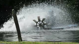
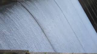
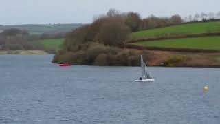
Video Gallery