River Heddon rises on Exmoor just outside the Somerset Boundary north east of Parracombe close to Higher Holworthy. Flowing in a generally westerly direction from its source it flows through a steep ravine to pass Holworthy Farm and then Highley Farm to reach the A39 main road. Before passing beneath the A39, it is joined by a stream of equal size which rises near Holwell Barrow. After passing through the A39 Culvert, the river turns to a north easterly flow to reach Parracombe. From Parracombe it flows through a gorse lined valley to flow beneath Skillaton Bridge and on to Heddon Valley Mill.
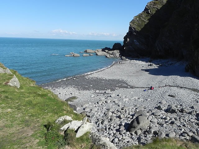
From Heddon Valley Mill, the river takes a more northerly direction and flows through a series of cascades to reach Mill Farm. Flowing on through the valley between Heale Wood and Mill Wood, it passes Tucking Mill to reach the Hunter’s Inn. Flowing beneath Martinhoe Bridge it is joined by a substantial stream from Trentishoe, and then flowing to the east of Heddon’s Mouth Wood and Heddon’s Mouth Cleeve it arrives at Heddon’s Mouth and the sea.
It travels approximately 9 kilometres from source to the sea with an elevation fall of close to 360 metres.
Source: Elevation 366.4 m or 1202.0 feet – Location :51.18242,-3.87351

Video Gallery


