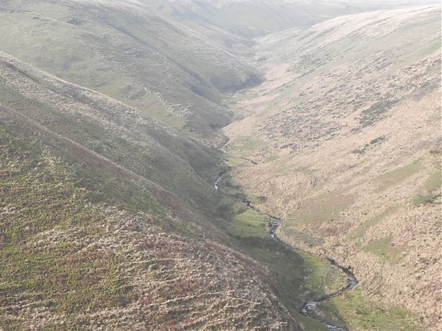
Moorland tributary of the East Lyn river, it rises at Hoaroak Hill in the Chains, close to the Tarka Trail. From it’s source it flows east through Long Chains Combe and then north through the valley between Exe Plain and Hoaroak Hill and flows on into Devon over the county boundary at Hoar Oak Tree. It continues in a generally northerly direction past Furzehill Common and Cheriton Ridge. It continues on the western side of Cheriton and combines with Farley Water at Hillsford Bridge before joining the East Lyn river at Watersmeet.
Its journey from source to the confluence with Farley Water is 8 kilometres, and 9 kilometres to Watersmeet and the confluence with the East Lyn River. Elevation fall from source to East Lyn confluence is close to 335 metres.
Source: Elevation 460.7 m or 1511.6 feet – Location :51.16811,-3.80265

Video Gallery

