Court Mill – Exford

Location :51.12944,-3.63568

A waterwheel has been recorded at Court Farm, though its precise location is unclear. The wheel pit, bearings and gear were still extant in 1977.

References: Exmoor HER – MSO6768 – Post-medieval or modern waterwheel at Court Farm

Full Description
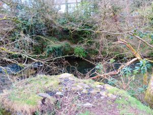
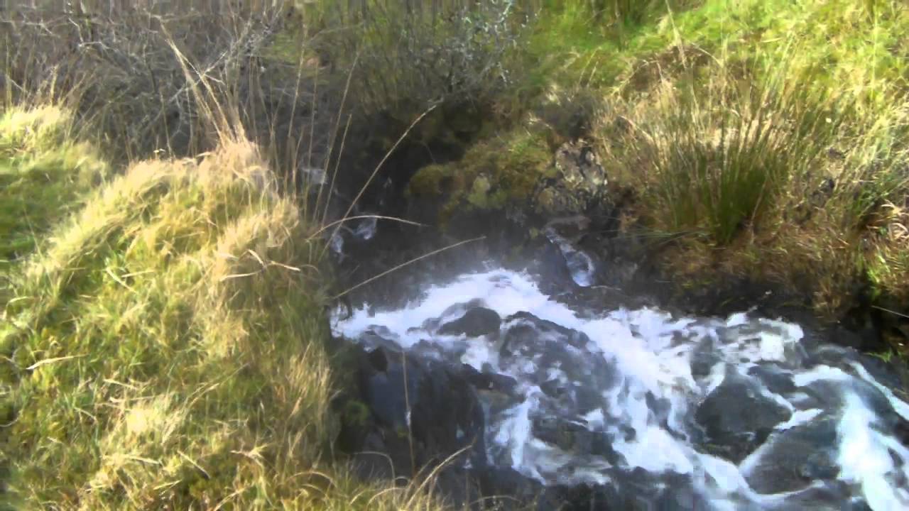
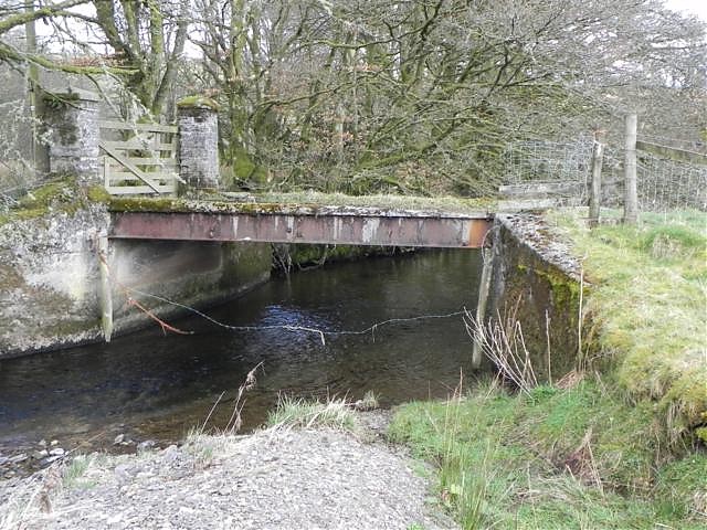
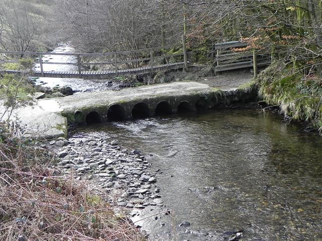
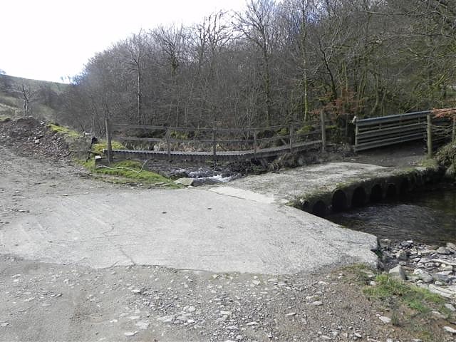
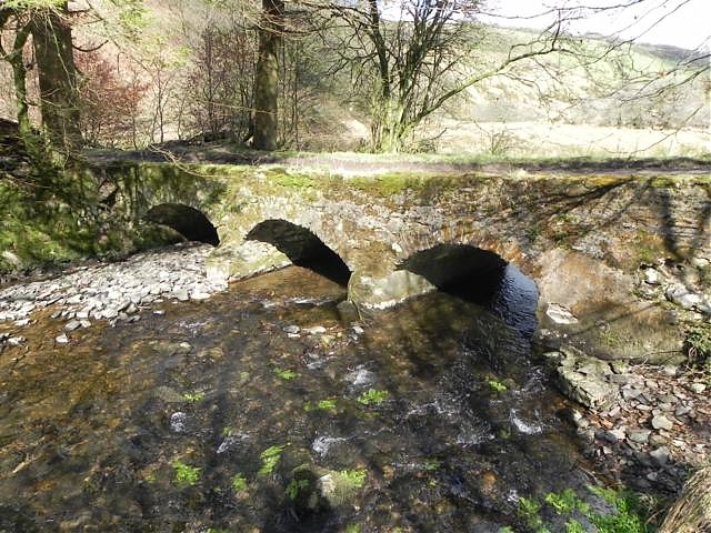
The site of a water wheel at Court Farm, south of Exford. The wheel pit, bearings and gear are still extant. The wheel was 19 feet in diameter and c.2.5 feet wide, powered by leat from a tributary of the River Exe. Remains of a wood flume were noted in the last 15 feet.
It is not clear in which building the water wheel is housed; there is a building at SS 8561 3796 that first appears on the 2nd Edition Ordnance Survey map and is now within a range known as ‘Court Mill’. The building is directly to the south of a stream running east-west (and also shown on the 2nd Edition map), which then runs past Court Cottage and Court House (both again shown on the map).

See also:

Battleton Footbridge remains


Bridge Name: Battleton Footbridge
No.: 15a
Location: Dulverton
Build Date: c18th/19th century

Description: Remains of what was once a footbridge.

The Tithe Map for Dulverton shows an unlabelled feature crossing the River Barle at SS 9126 2754 that may or may not be a bridge. It does not appear on the 1st Edition Ordnance Survey map and presumably had been removed by the time this was surveyed. An historic photograph of the site shows a footbridge built on stone piers with railings along its span.(1)
References:

1.Exmoor National Park HER – MEM 23933

Broughton Brook Bridge


Bridge Name:   Broughton Brook Bridge
No.:   75A
Location:   Accommodation/foot bridge leading to Ruishton – 51.02245,-3.05747
Build Date:   1973
Engineer:   Monk


Description:   probably one of the smallest post-tensioned structures in the country. Chosen to be this
type so that it could be used as a trial for the main M5 bridge.
 
     
References:   Bridges Along the Tone – SCC Highways

Trenchard Way Bridge 

Firepool

Bridge Name:   Trenchard Way Bridge 
No.:   69B
Location:   Taunton 51.02122,-3.09430 – Carries the A3087  crosses both the River Tone and the Bridgwater & Taunton Canal
Build Date:   2017
Engineer:   Firepool road bridge, designed by HBPW Consulting engineers as part of the £22m Northern Inner Distributor Road (NIDR)


Description:    
 110 metres long three span steel concrete composite ‘ladder deck’ bridge
     
References:    

River Exe Source to Confluence with River Barle

River Barle Source to Mouth

Sherdon Bridge

Bridge Name: Sherdon Bridge
No.: 1
Location:

Build Date: Circa 1820 – 1840

Engineer:

Description: Sherdon Bridge. Probably built at the same time as Sherdon Farm – early to middle Victorian. First appears on the First Edition Ordnance Survey map. Not shown on the map of the Inclosure of Exmoor Forest (1818). Probably built before 1840 from local stone; There are several old quarries nearby. Carries bridleway DU5/17 over Sherdon Water. The path starts between Woolcombe Farm and Withypool Cross. After crossing Sherdon Water, the path continues to Sherdon Farm and then there are options for a circular return to Sherdon Bridge or to continue on past Horsen Hill, Horsen Farm and Great Ferny Ball to connect with the Two Moors Way near Cow Castle.
References: