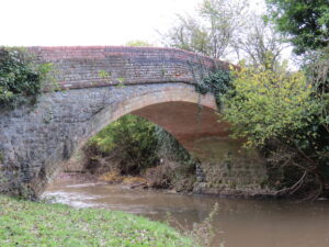
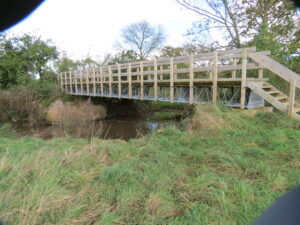
French Weir Footbridge

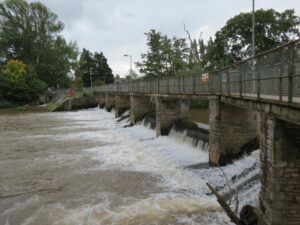
Bridge Name:   French Weir Footbridge
No.:   60
Location:   French Weir Bridge 5299 – 51.01668,-3.11263. Bridge 5298 – 51.01629,-3.11251
Build Date:    
Engineer:    


Description:   Two ROW bridges – the first crosses the Weir the second the Tone. Girders mounted on stone piers  with solid infil deck.
 
     
References:  

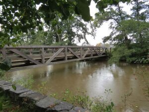
Longrun Meadow Footbridge

Bridge Name:   Longrun Meadow Footbridge
No.:   58
Location:   upstream from French Weir  51.01742,-3.11303
Build Date:   2010
Engineer:    


Description:    
Opened by Mayor of Taunton Deane Jefferson Horsley 27th August 2010

The Meadows, designed by Steve Swan of Swan Paul Partnership

     
References:  

Tytherleigh Bridge

Bridge Name:   Tytherleigh Bridge
No.:   55
Location:   51.01884,-3.13306 – Netherclay  Carries the A3605
Build Date:   19th century
Engineer:    


Description:   Single arch brick construction

The most important bridges in the ancient parish were those taking the Wellington road over the boundary stream at Three Bridges, so named by 1632,and the road to Staplegrove over the Tone, which was the adjoining miller’s responsibility in the 17th century and was described as a great bridge. Known as Tytherleigh bridge by the latter may have been the bridge ordered to be to be rebuilt in 1526. It was accepted as a county bridge by 1831. It is a single arch, single track bridge and formerly carried all local north—south traffic, controlled in the later 20th century by traffic lights. Following the building of the new Silk Mills Road to the east with a new flat bridge the old bridge takes local parish traffic only.

 
    © University of London 2019 Text by Mary Siraut, Victoria County History, Somerset
References:  

Netherclay Footbridge ROW No.4704

Bridge Name:   Netherclay Footbridge ROW No.4704
No.:   54
Location:   51.01914,-3.13543 Footpath T3/14 opposite Netherclay House
Build Date:   Probably constructed at the same time as Netherclay House in 1750
Engineer:    


Description:   Three arched brick platform supported on brick abutments and two central brick piers. “It is believed to have been originally constructed as a cart bridge before being narrowed at ‘road’ surface to a footpath. May well have been the carriage access to Netherclay House” (anonymous email)
 
     
References:  

Longaller Bridge

Bridge Name:   Longaller Bridge
No.:   52
Location:   51.01951,-3.14692
Build Date:   1875
Engineer:    


Description: Single Arch brick and stone construction. The mill tenant had long been responsible for the Longaller river bridge and a vehicular access bridge over the river was built in 1875
 
     
References: Text by Mary Siraut, Victoria County History, Somerset

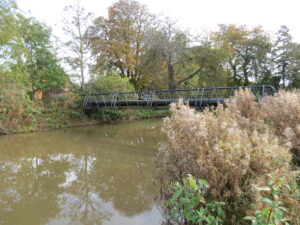
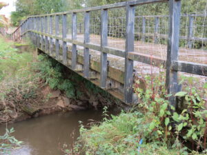
Longaller Footbridge

Bridge Name:   Longaller Footbridge
No.:   51
Location:   51.02093,-3.14819
Build Date:    
Engineer:    


Description:   Preconstructed wooden footbridge with wooden handrails. Metal beam on brick abutments support the bridge. Abutments older than existing bridge.
 
     
References: